- You are here:
-
Home

-
Measurement and Geometry
-
Location & Transformation
- Mapping


Foundation - Use appropriate language to describe location.
Australian Curriculum Yr F Achievement Standard
Australian Curriculum Yr F Achievement Standard
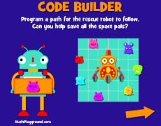
Code BuilderMobile Friendly Version
Create a path for the robot to follow.
Double DeliveryMobile Friendly Version
Use directions to send the robots to work.
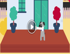
Hiding the boneMobile Friendly Version
Short movie to use as a discussion point for positional language
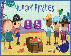
Hungry PiratesMobile Friendly Version
Using 'left' and 'right', guide Peg to the Treasure Chest.
Year 1 - Use the language of direction to move from place to place. Students give and follow directions to familiar locations.
Australian Curriculum Yr 1 Achievement Standard
Australian Curriculum Yr 1 Achievement Standard
Code BuilderMobile Friendly Version
Create a path for the robot to follow.
Double DeliveryMobile Friendly Version
Use directions to send the robots to work.
Hiding the boneMobile Friendly Version
Short movie to use as a discussion point for positional language
Hungry PiratesMobile Friendly Version
Using 'left' and 'right', guide Peg to the Treasure Chest.
Back to TopYear 2 - Interpret simple maps of familiar locations and identify the relative positions of key features.
Australian Curriculum Yr 2 Achievement Standard
Code BuilderMobile Friendly Version
Create a path for the robot to follow.
Double DeliveryMobile Friendly Version
Use directions to send the robots to work.
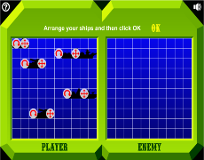
Hidden ShipsMobile Friendly Version
Click the correct co-ordinates to uncover the hidden ships.
Hungry PiratesMobile Friendly Version
Using 'left' and 'right', guide Peg to the Treasure Chest.
Back to TopYear 3 - Match positions on maps with given information. Students create and interpret simple grid maps to show position and pathways.
Australian Curriculum Yr 3 Achievement Standard
Australian Curriculum Yr 3 Achievement Standard
Code BuilderMobile Friendly Version
Create a path for the robot to follow.
Double DeliveryMobile Friendly Version
Use directions to send the robots to work.
Hidden ShipsMobile Friendly Version
Click the correct co-ordinates to uncover the hidden ships.
Back to TopYear 4 - Interpret information contained in maps. Students use simple scales, legends and directions to interpret information contained in basic maps.
Australian Curriculum Yr 4 Achievement Standard
Australian Curriculum Yr 4 Achievement Standard
Double DeliveryMobile Friendly Version
Use directions to send the robots to work.
Hidden ShipsMobile Friendly Version
Click the correct co-ordinates to uncover the hidden ships.
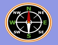
Make a Walking TrackMobile Friendly Version
Choose a section of track based on compass and grid references.
Back to TopYear 5 - Use a grid reference system to describe locations. Describe routes using landmarks and directional language.
Australian Curriculum Yr 5 Achievement Standard
Australian Curriculum Yr 5 Achievement Standard
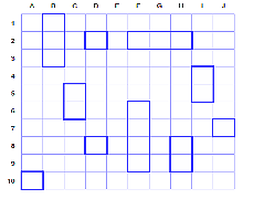
Battleship OnlineMobile Friendly Version
Press 'Friend', send the link to someone else and play each other.
Draw in CodeMobile Friendly Version
Program your turtle to draw.
Hidden ShipsMobile Friendly Version
Click the correct co-ordinates to uncover the hidden ships.
Make a Walking TrackMobile Friendly Version
Choose a section of track based on compass and grid references.
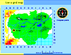
Use a Grid MapMobile Friendly Version
Use coordinates to find locations.
Back to TopYear 6 - Locate an ordered pair in any one of the four quadrants on the Cartesian plane.
Australian Curriculum Yr 6 Achievement Standard
Draw in CodeMobile Friendly Version
Program your turtle to draw.
Make a Walking TrackMobile Friendly Version
Choose a section of track based on compass and grid references.
Stock ShelvesMobile Friendly Version
Stock the shelves using coordinates.
Use a Grid MapMobile Friendly Version
Use coordinates to find locations.
Back to TopYear 7 - Represent transformations in the Cartesian plane. Students assign ordered pairs to given points on the Cartesian plane.
Australian Curriculum Yr 7 Achievement Standard
Australian Curriculum Yr 7 Achievement Standard
Draw in CodeMobile Friendly Version
Program your turtle to draw.
Make a Walking TrackMobile Friendly Version
Choose a section of track based on compass and grid references.
Use a Grid MapMobile Friendly Version
Use coordinates to find locations.